


Sentier des Caps (Cap Tourmente National Wildlife Area)
- Admission
- Free
- Hours
- Day use only; no staff present for safety management.
- Where
- Saint-Joachim, Quebec
- Directions
- Directions
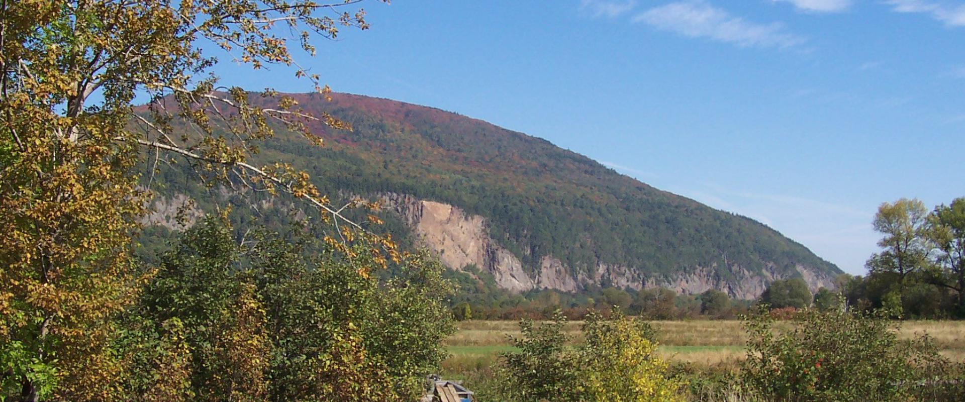
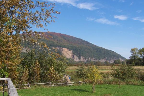
The Sentier des Caps is a hiking trail in the Cap Tourmente National Wildlife Area, on the north shore of the St. Lawrence River near Saint-Joachim, in Quebec. The area lies about 50 kilometres east of Quebec City, in the Beaupré coast region, far from the Laurentian resort area of Mont Tremblant. Here the cliffs of the Laurentian plateau drop to the great river, and the shoreline is a mosaic of tidal marsh, meadows, forest and rock. The Canadian Wildlife Service manages the reserve, which was set up in the late 1970s to protect one of the most important stopovers for migratory birds in eastern Canada.
The best-known visitor is the greater snow goose. Each spring and autumn, huge flocks of these white geese stop to feed on the bulrush roots of the marsh, and the flocks can number in the tens of thousands, filling the sky with noise and movement. The marshes were recognised internationally as a wetland of importance, and the combination of protected habitat and open views makes Cap Tourmente one of the best places in the province to watch the migration. Many other birds, including ducks, raptors and songbirds, also use the reserve, and more than a hundred species have been recorded over the years.
The trail network is extensive, with numbered and named routes of varying difficulty that lead through the marshes, up through forest and onto the cliffs. The Sentier des Caps climbs along the edge of the escarpment, with lookouts that open over the river, the Île d’Orléans and the opposite shore on a clear day. Another path, La Falaise, climbs to higher viewpoints. The woods hold maples, birch and conifers, and in autumn the hillsides turn brilliant red and gold. Trail conditions change, and a section may be closed or detoured after a landslide or bad weather, so check for notices before setting out.
Visitors should treat the reserve as a wild area. It is for day use only, there is no staff on the trails to help with safety, and visitors should carry water, wear sturdy shoes and follow the rules about staying on marked paths. Leave no trace, keep dogs under control or at home according to the posted rules, and give the birds space, especially during migration.
The area suits birdwatchers, hikers and photographers, and it combines well with a visit to the nearby shrine town of Sainte-Anne-de-Beaupré, Mont Sainte-Anne and the Île d’Orléans. The best times are April and October for the geese, and September to October for the fall colours. Bring layers, since wind off the river can be cold.
Categories
More photos coming soon
Hours & Fees
- Open
- Day use only; no staff present for safety management.
- Admission
- Free
Hours and prices change, especially out of season. Check with the venue before you go.
Nearby Attractions
Closest attractions by distance

Notre-Dame de Québec Basilica-Cathedral
Oldest church in Canada, in Old Quebec
History & Heritage
Citadelle of Quebec
From $8 Castles & Forts · Guided Tours
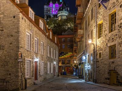
Liaison du Petit-Champlain
Architecture · Districts
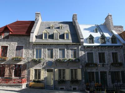
Place Royale
Birthplace of French North America in Old Québec
Free History & Heritage · Urban & City Life
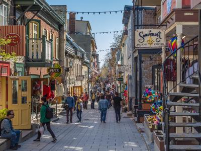
Rue du Petit-Champlain
Architecture · Historic Towns

Château Frontenac
Architecture · Castles & Forts
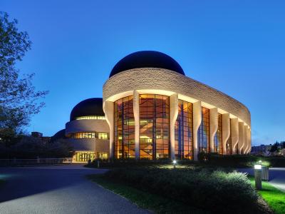
Musée de la civilisation
Culture & Leisure · History & Heritage
Parc des Champs-de-Bataille
Free Culture & Leisure · History & Heritage
Questions people ask
Quick Facts
Best Time to Visit
Mid-April to early May and again from late September to October for the greater snow goose migrations; June to August for hiking.