





Cape Breton Highlands National Park
- Where
- Cape Breton Island, Nova Scotia
- Directions
- Directions
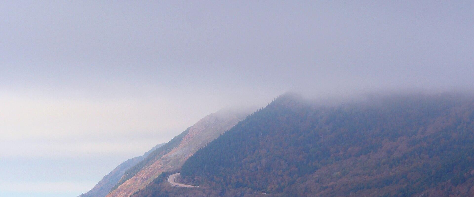
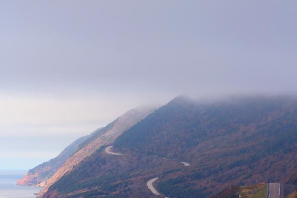
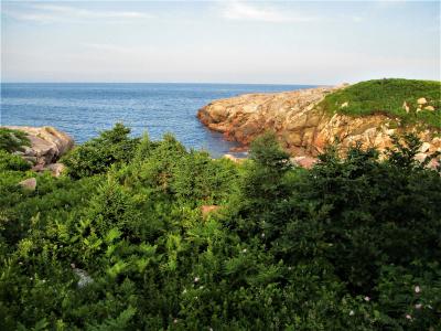
Cape Breton Highlands National Park covers roughly 950 square kilometres, about 235,000 acres, on the northern tip of Cape Breton Island, and it was Atlantic Canada’s first national park, established in 1936. The park is the place where the island's high plateau meets the sea. Steep river canyons cut down from a flat, windswept upland to cliffs that fall straight into the Gulf of St. Lawrence on one side and the Atlantic Ocean on the other, and the Cabot Trail winds around the edge of it all.
The landscape holds several ecosystems in a small space. Along the valleys and lower slopes, hardwood forests of sugar maple, yellow birch and beech put on a strong autumn display, while the Acadian forest of balsam fir and spruce covers much of the rest. On the high plateau the trees shrink into stunted growth, and open barrens and bogs resemble the country of the far north. The park is home to moose, black bear, bald eagle and pine marten, and the Canada lynx is among its elusive residents. Whales are regularly seen offshore from the headlands in summer.
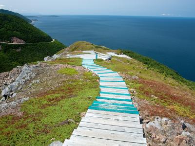
Walking is the main activity. The park has around two dozen trails, from short interpretive loops to demanding all-day hikes. The Skyline Trail is the most famous, a loop out to a headland with a long drop to the Gulf, and shorter boardwalk walks include the Lone Shieling, a stand of old-growth maples with a small stone hut modelled on a Scottish crofter's shelter. Beaches at Ingonish and Chéticamp attract swimmers on warm days, and the cold, clear rivers are good for trout. Several campgrounds are spread around the park, with equipped sites as well as backcountry areas for hikers, and reservations are advisable in summer.
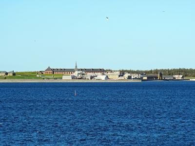
The land is Mi’kmaq territory, and Mi’kmaq people have lived in this region for thousands of years. Parks Canada works with Mi’kmaq communities, and cultural interpretation is a growing part of the park's programmes. Acadian and Scottish settlers later built the fishing villages that lie along the park edges.
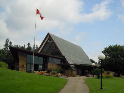
Visitors pay park fees, usually per day or with a pass. Parking at the busiest trailheads can fill by mid-morning, and some trails use reservation or timed systems in peak season, so check the Parks Canada website for current rules, trail conditions and seasonal closures. Weather changes quickly, with fog on the coast and cold wind on the plateau, so bring layers.
The Cabot Trail drive through the park takes a few hours without stops, but a full day lets you add a hike or two.
Categories
More photos coming soon
Nearby Attractions
Other places to visit in Cape Breton Island
Questions people ask
Quick Facts
Best Time to Visit
June through September offers warm weather, ideal for hiking and coastal exploration.