



The Route in Brief
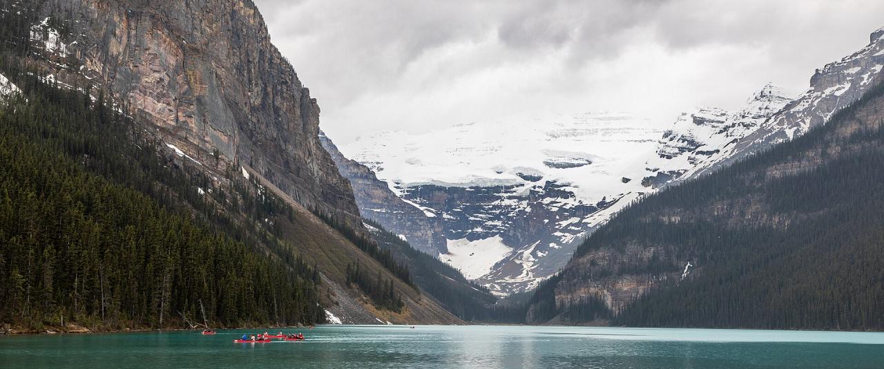
The Icefields Parkway is the section of Highway 93 that runs north from the Lake Louise junction to Jasper, about 230 km through Banff and Jasper national parks. The road was first completed in 1940 as a Depression-era relief project, and the modern paved highway opened in 1961. Its highest point is Bow Summit at about 2,070 m.
The speed limit is 90 km/h, lower near Saskatchewan River Crossing and the Columbia Icefield, and commercial trucks are not allowed. Without stops the drive takes around three hours, but most visitors give it a full day, stopping at viewpoints and short trails along the way.
Before You Set Off
- Park pass. You need a valid Parks Canada pass to drive the parkway. Daily passes and the annual Discovery Pass can be bought at the park gates near Lake Louise and Jasper.
- Fuel. The only fuel stop on the route is at Saskatchewan River Crossing, and it closes in winter. Fill up in Lake Louise or Jasper.
- No cell service. Parks Canada says there is no cell coverage between Lake Louise and Athabasca Falls. Download maps offline and tell someone your plans.
- Road conditions. Check 511 Alberta before you leave. Closures can happen without warning in any season.
- Wildlife. Bears, elk, bighorn sheep and mountain goats are often close to the road. Stay in your vehicle and pull fully off the road if you stop.
Southern Section: Lake Louise to Saskatchewan Crossing
The first stretch climbs past a run of lakes and glaciers. Distances below are approximate from the Lake Louise junction.
- Crowfoot Glacier viewpoint (about 33 km) – a roadside pullout facing the glacier on Crowfoot Mountain.
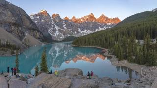
- Bow Lake (about 36 km) – a large lake beside the road. The Bow Glacier Falls trail starts here: 3.8 km one way with 95 m of gain.
- Peyto Lake (about 40 km) – from the Bow Summit parking lot, a 0.6 km path leads to a viewpoint over the lake, with a barrier-free route of about 0.3 km from the upper lot.
- Mistaya Canyon (about 72 km) – a 0.6 km walk down to a narrow limestone gorge cut by the Mistaya River.
- Saskatchewan River Crossing (about 78 km) – the junction with Highway 11, with seasonal services.
Northern Section: The Columbia Icefield to Jasper
North of the Crossing the road climbs steeply to Sunwapta Pass, the boundary between Banff and Jasper national parks.
- Parker Ridge – a 2.7 km trail with 305 m of gain that ends above the Saskatchewan Glacier. It starts about 40 km north of Saskatchewan Crossing.
- Columbia Icefield and Athabasca Glacier (about 128 km from Lake Louise) – the glacier comes down almost to the road opposite the Icefield Centre. A short trail leads toward its toe, with markers showing how far the ice has retreated. Do not walk onto the glacier without a guide; hidden crevasses make it dangerous. Commercial glacier tours run from the Icefield Centre.
- Sunwapta Falls – a short side road and a few minutes' walk to a waterfall in a narrow canyon.
- Athabasca Falls – near the junction with Highway 93A, about 30 km south of Jasper, where the Athabasca River drops into a gorge.
The southern approach to Jasper passes through forest burned by the 2024 Jasper wildfire.
Winter Driving
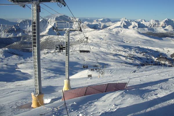
The parkway stays open in winter but is a serious drive. The road is not heavily salted, and Parks Canada reports road conditions based on the worst section along the whole route. Winter tires (marked with a snowflake or M+S symbol) or chains are mandatory from November 1. Parks Canada sources give an end date of March 31 or April 1, so treat the whole period as winter-tire season. There are no services between Lake Louise and Jasper in winter.
Carry a safety kit with warm clothing, food, water, a shovel and a flashlight, and drive in daylight. If the forecast is poor, wait a day.
Planning Tips
- Direction. The drive works in either direction. Southbound from Jasper puts the morning light on several of the southern lakes later in the day, but timing matters less than weather.
- Start early. Parking at Peyto Lake and the Icefield Centre fills by late morning in July and August.
- Overnight options. If you want to break the drive, there are campgrounds and a few lodges along the route, and they book up early in summer.
- Combine with Banff. Lake Louise is about an hour from Banff town, so a Banff-based trip can include the southern half of the parkway as a day trip to Peyto Lake and back.